
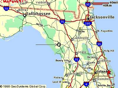
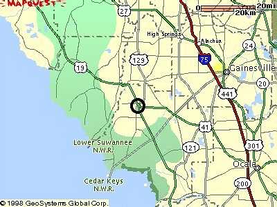
Latitude 29o 24' 33.4" North, Longitude 82o 51' 37.7" West
|
|
Maps to Chiefland, Fla. Latitude 29o 24' 33.4" North, Longitude 82o 51' 37.7" West | |
| Daylight GOES-8 Satellite image Centered on Tampa Fla. | |
 |
 |
 |
 |
 |
|
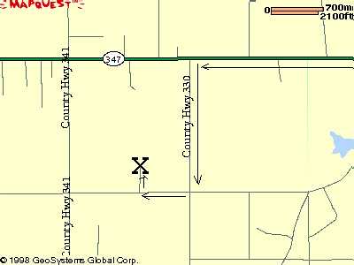
Directions
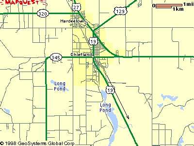
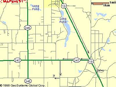
Go 6.0 miles South from Chiefland on Rt. 19.
Turn right on the first road which is 347.
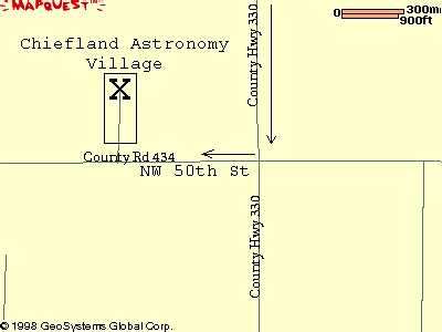
Go 2.0 miles to first road and turn left on 330.
Go 1.0 miles to first street and turn right on NW 50 St.
Go .3 miles and take the first right on NW 52 Ct.
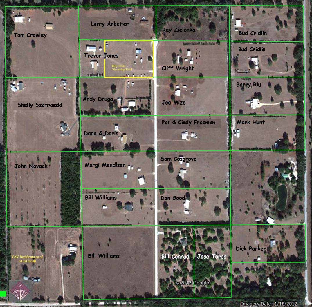
The club field is at 5450 NW 52nd Court, see ariel view below, follow bold Yellow line.
Parking lights only after dark.
If you are unfamiliar with our site, we always request first time visitors to plan upon arriving at
least 3 hours before Sunset to find us, setup and get the lay of the land.
http://www.terraserver-usa.com/......................... very long.
Motels: Call for rates and reservations.
Days Inn (877) 933-2974, (352) 493-9300
Best Western (352) 493-0663
Manatee Springs (352) 493-2991
Sheldon Kagel's City of Chiefland web page highlights facilaites offered in the city of Chiefland.